Day 11: Muir Pass
Back to Day 10
Forward to Day 12

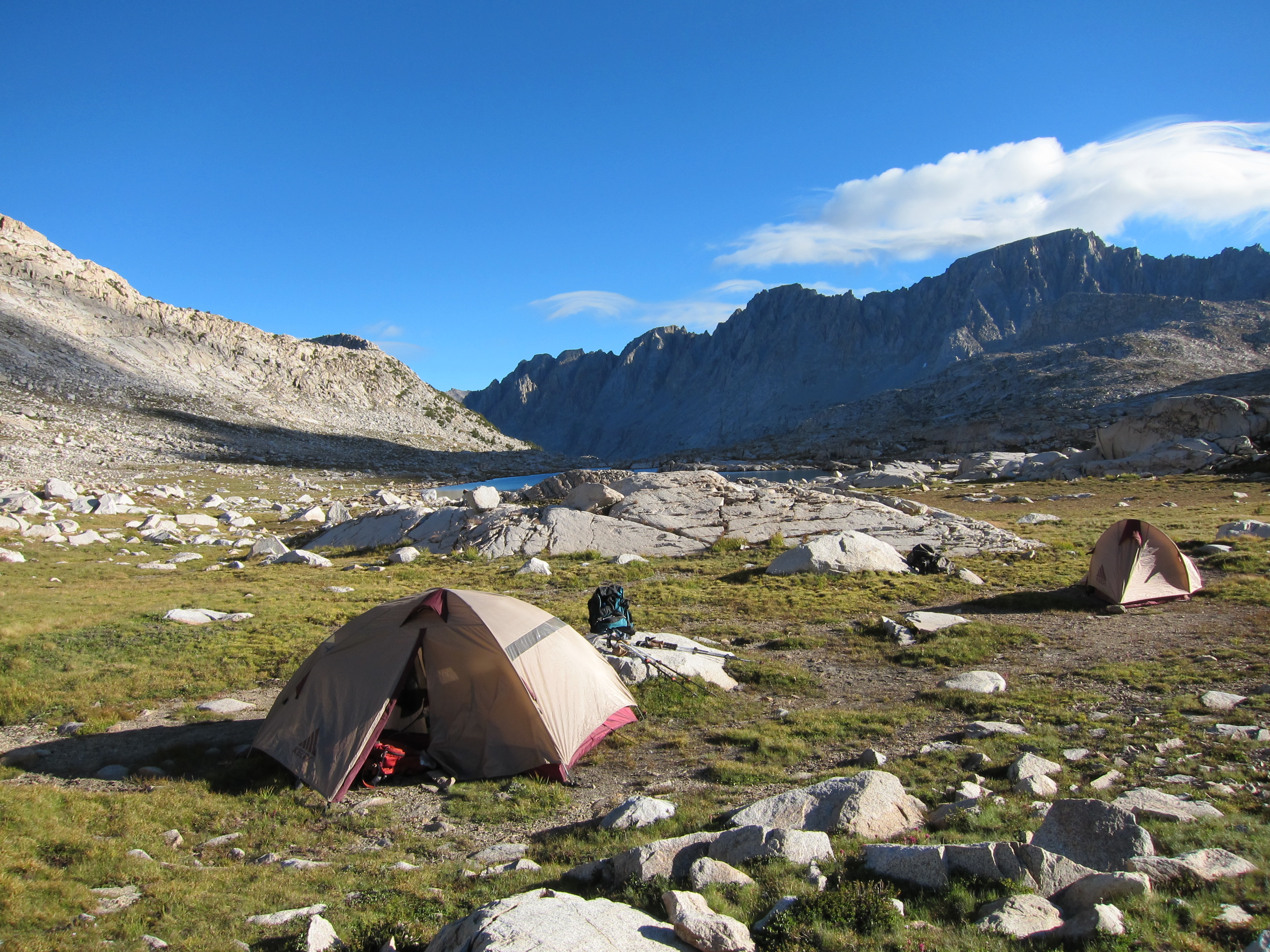
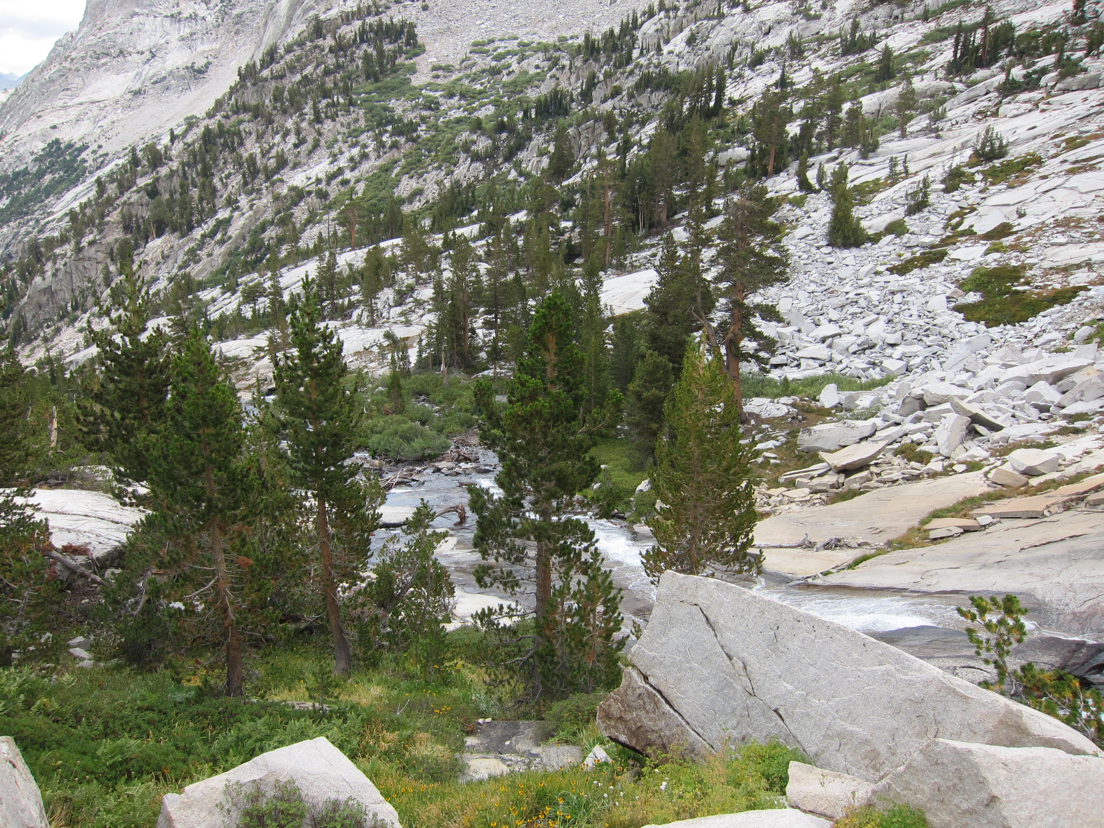
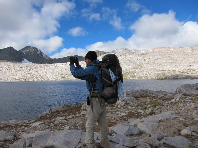
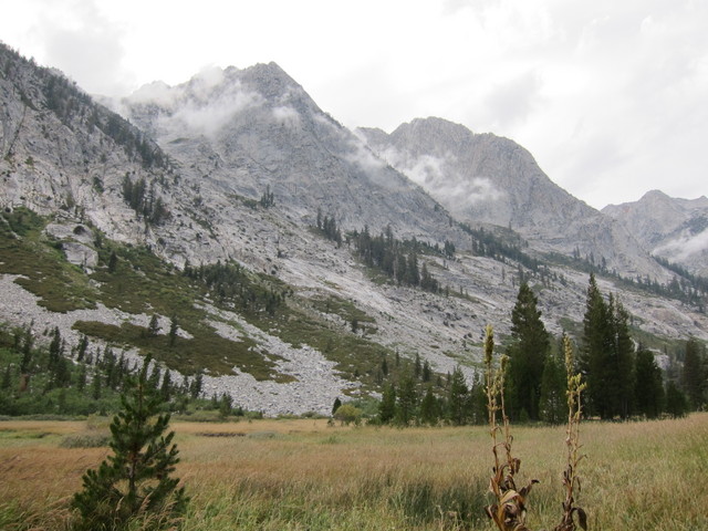
Such a beautiful picture, you can almost forget how cold it was all night (and morning). And those lovely puffy clouds are soon to become ominous...

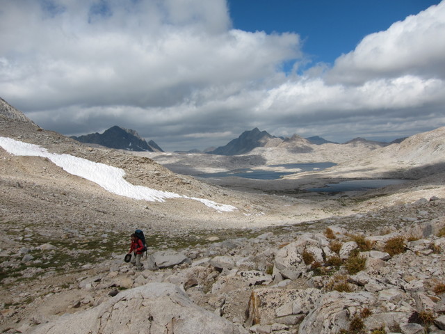
By the time we got to Wanda Lake (probably just half a mile beyond the campsite) the clouds were really rolling in, the wind was blowing, and the temperature was not increasing.
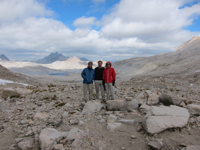
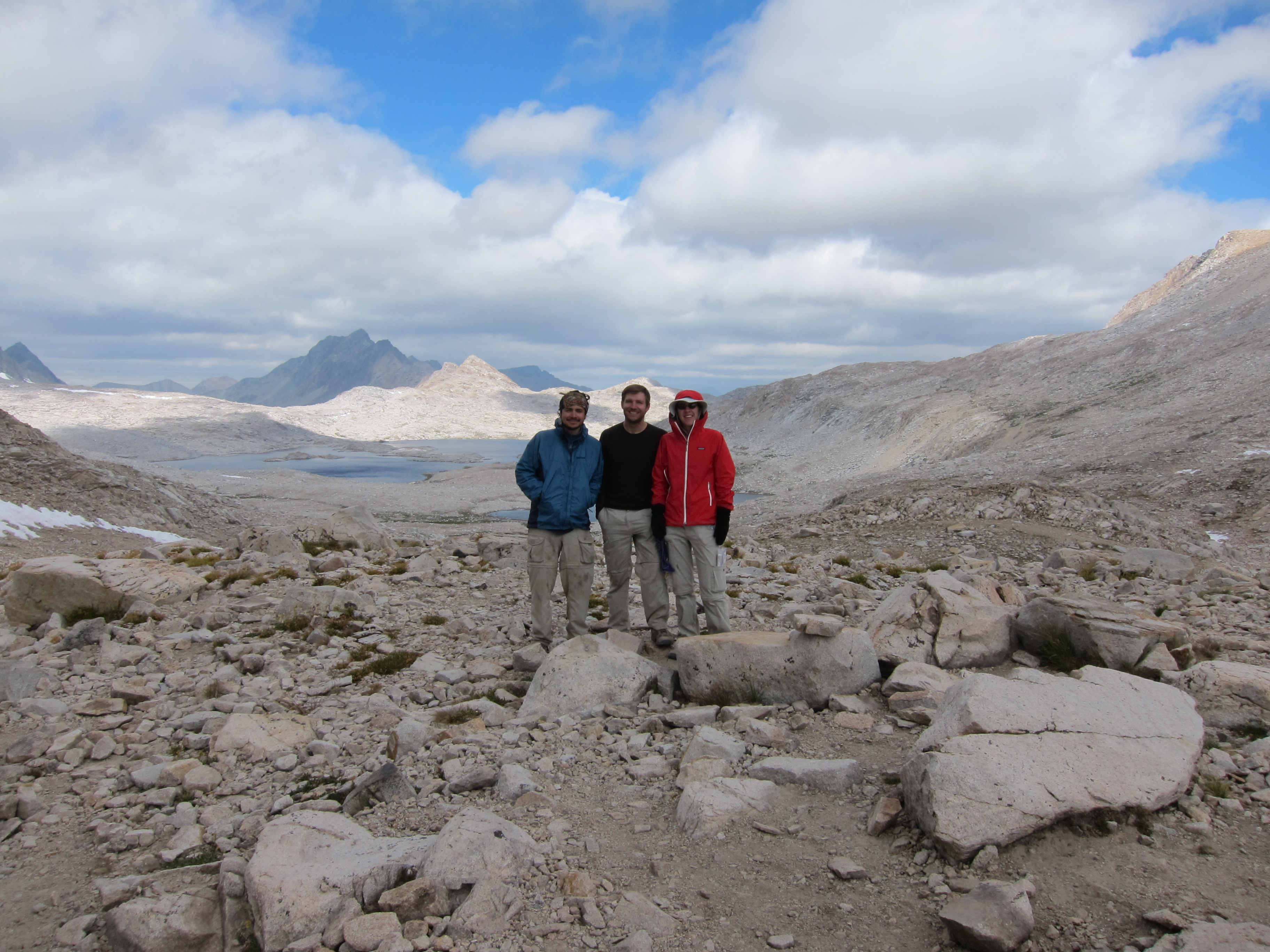
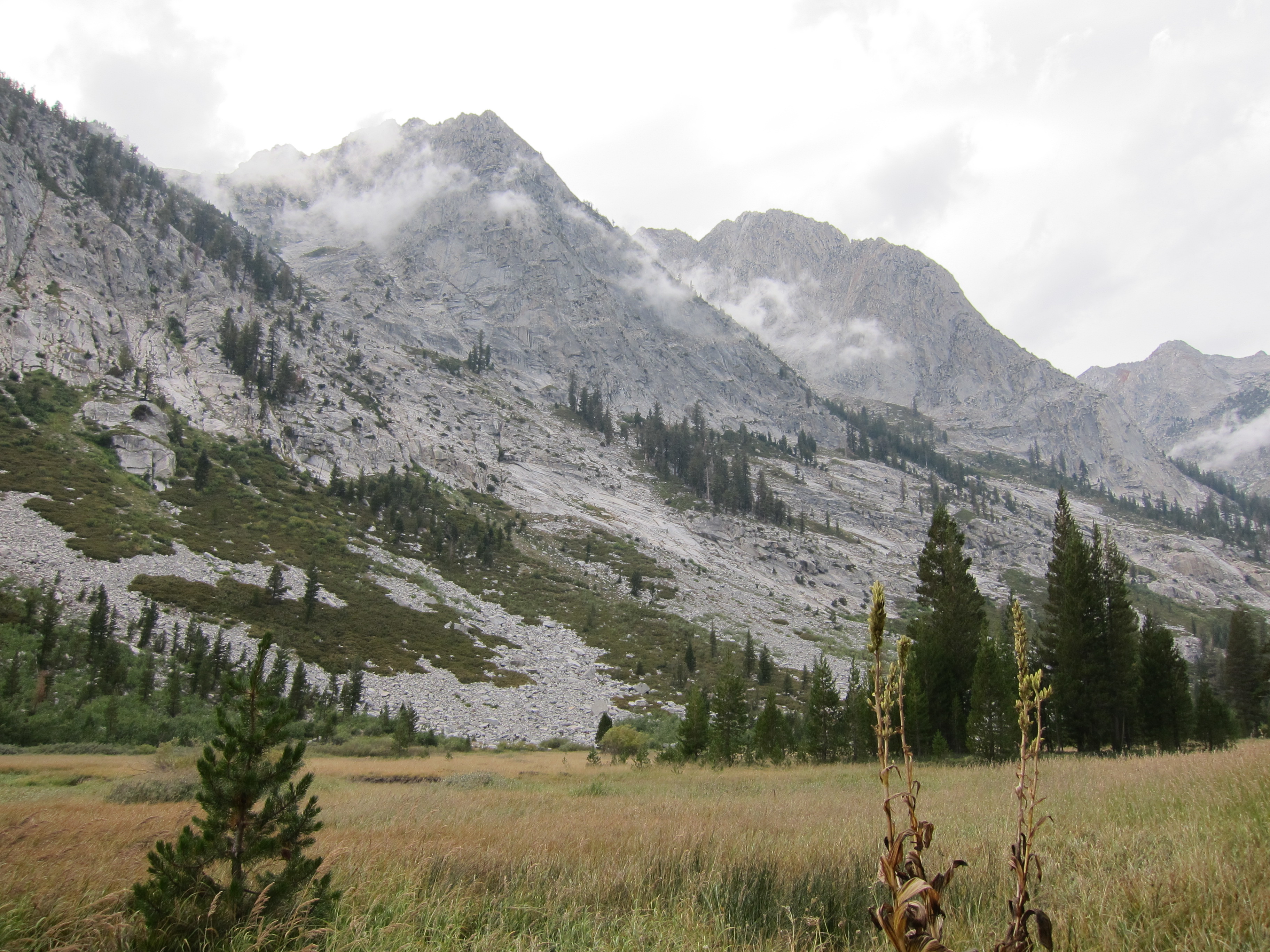
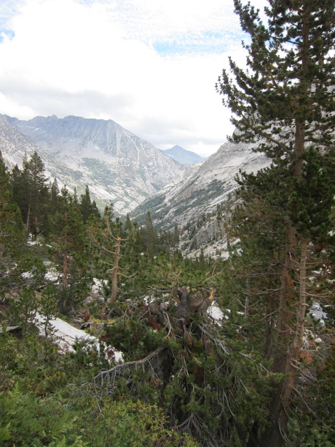
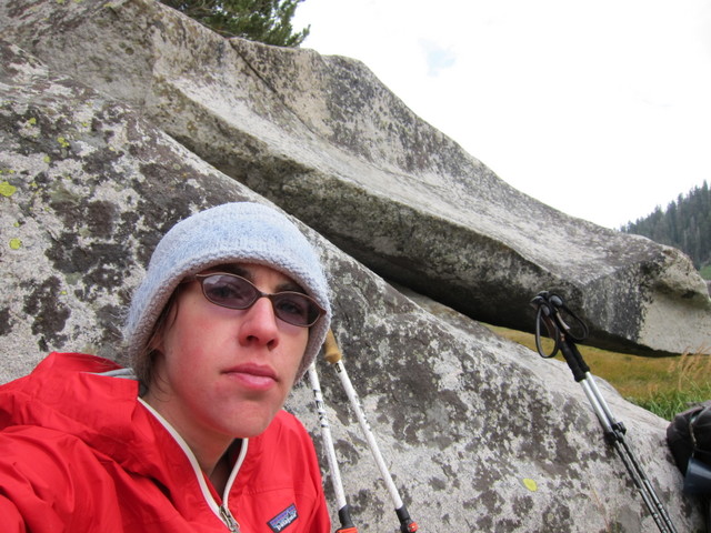
View from the top of Muir Pass

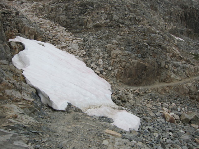
The trail down from the pass featured the only section of trail that was buried under snow.
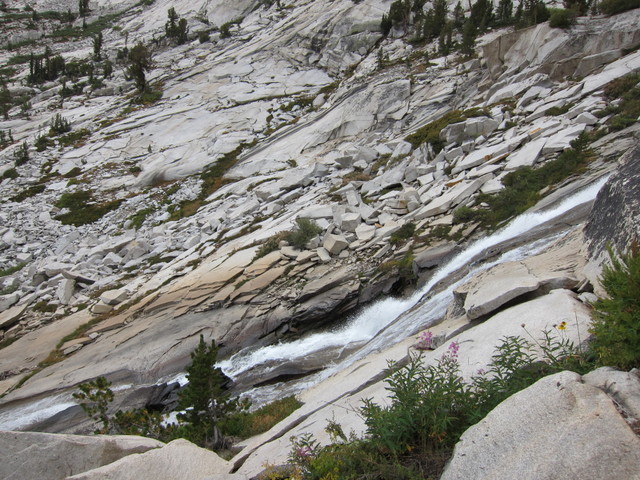
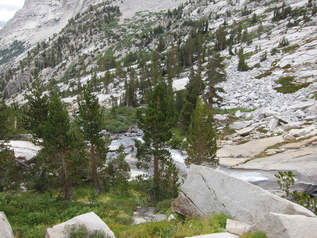
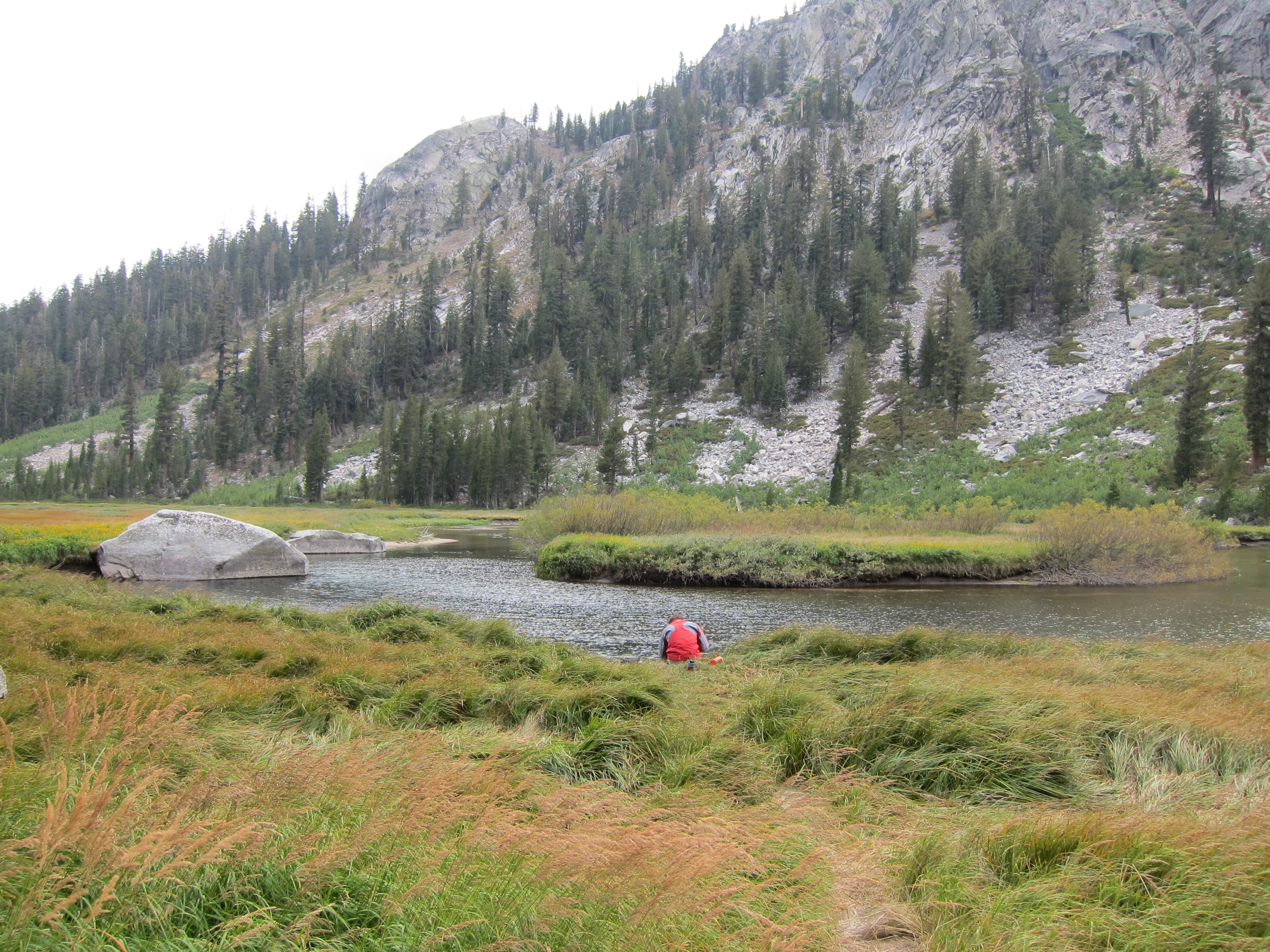
We were anxious to get down to lower elevations where hopefully the wind would die down. It was true that the wind let up as we continued, but then it started to rain very lightly.
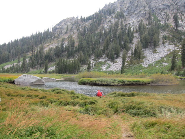
When we stopped for our afternoon snack, the rain had let up lightly, but we were still cold and wet.
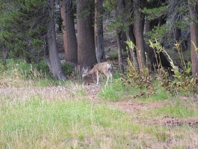
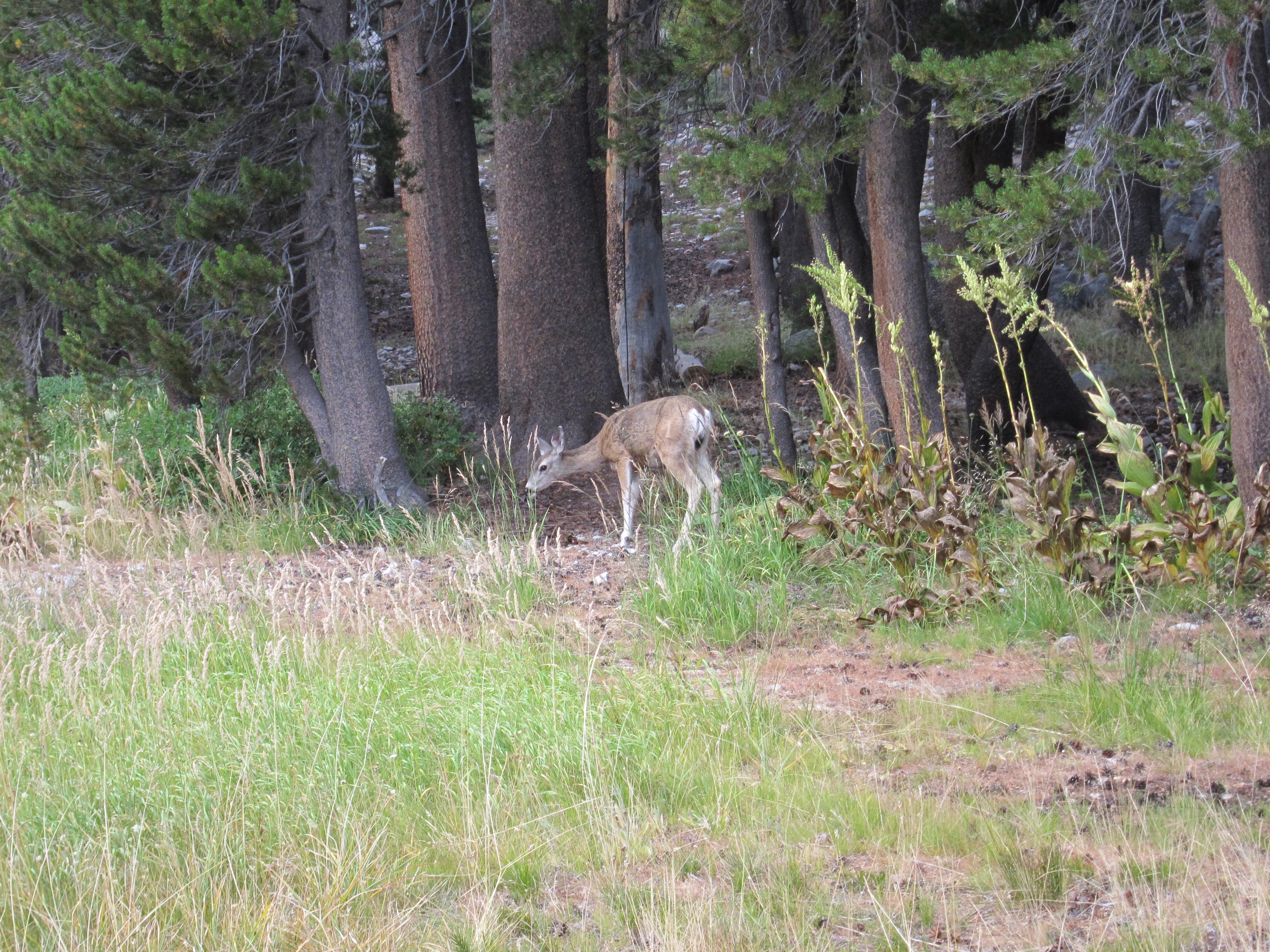
However, we did have another deer sighting.
We intended to camp about 2 miles past the Road's End junction, so we would have less of a hike to Mather Pass the next morning. About one mile past the junction, we found a decent campsite. But Joel's GPS said there was another one a mile away, so we decided to keep going. We couldn't find that campsite, so we decided to move on to the next one, 0.3 miles away. That one was taken. While we were asking the people at that campsite if they knew of any others, a pair of people passed us up at a good clip. We hurried to the next site, a quarter mile away, but the pair that passed us had beaten us to it. (Ian actually attempted to vault a fallen tree in his urgency to make it to this campsite before the other people, but he tripped on the tree and scraped up his leg.) We kept going to yet another site, which was also taken. At this point, Ian just walked off in the general direction of the stream, and was able to find a very good campsite that happened to be a long way off the trail. We ended up camping about 3.5 miles past the junction, near Deer Meadow. True to its name, we did see several more deer here.
Final Tally:
16.8 miles
1600 ft up, 3900 ft down
7 deer
Back to Day 10
Forward to Day 12